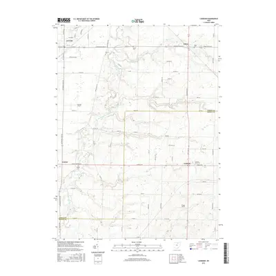
2016 Map of Lagrange
USGS Topo · Published 2016About this map
The East Branch Black River carves a winding path through the borderlands of Lorain and Medina Counties, defining a landscape where agriculture and small aviation hubs meet. Settled communities such as LaGrange, Belden, and Litchfield anchor the corners of this survey, connected by a network of well-established routes like Avon Belden Rd and Medina-Elyria Rd. Genealogists will find a wealth of local-history landmarks, including the Knowles Cem and Litchfield Center Cem, which provide geographic context for family lineages in this part of Ohio.
Find a feature on this map
73 named features on this map. Tap any name to fly to it.
Don’t see what you’re looking for? This feature index may not catch every label — zoom into the map to look around manually.
Map Details
Editions of this 2016 Lagrange Map
This is the sole edition of this map. No revisions or reprints were ever made.
Other maps of this area

1901 · Oberlin
USGS Topo · 1:62,500

1902 · Berea
USGS Topo · 1:62,500

1903 · Oberlin
USGS Topo · 1:62,500

1904 · Berea
USGS Topo · 1:62,500

1904 · Medina
USGS Topo · 1:62,500

1904 · Wellington
USGS Topo · 1:62,500

1906 · Medina
USGS Topo · 1:62,500

1906 · Wellington
USGS Topo · 1:62,500

1950 · Cleveland
USGS Topo · 1:250,000

1953 · West View
USGS Topo · 1:24,000