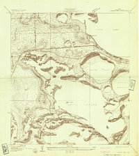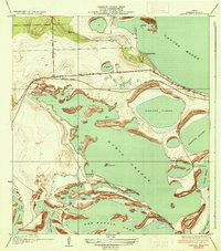
1936 Map of Laguna Vista
USGS Topo · Published 1936About this map
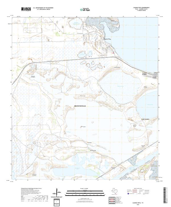
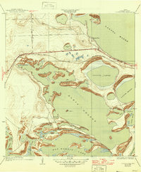
County Engineer W. O. Washington and local commissioners contributed data to this 1930s coastal survey of the Rio Grande Valley, revealing a complex landscape of tidal flats and low-lying lomas. The map is dominated by the expansive Bahia Grande and San Martin Lake, water bodies separated by a series of narrow ridges and crossings such as Carretas Crossing and La Atra Crossing. The settlement at Laguna Vista sits near the shores of Laguna Madre, while the small community of Escoes is situated further inland along the State Highway No 100.
Find a feature on this map
29 named features on this map. Tap any name to fly to it.
Don’t see what you’re looking for? This feature index may not catch every label — zoom into the map to look around manually.
Map Details
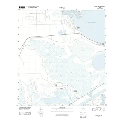
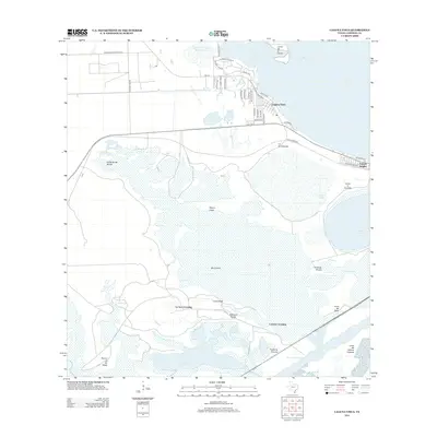
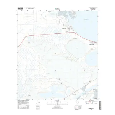
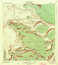
Editions of this 1936 Laguna Vista Map
3 editions found
Historical Maps of Brownsville Through Time
8 maps found