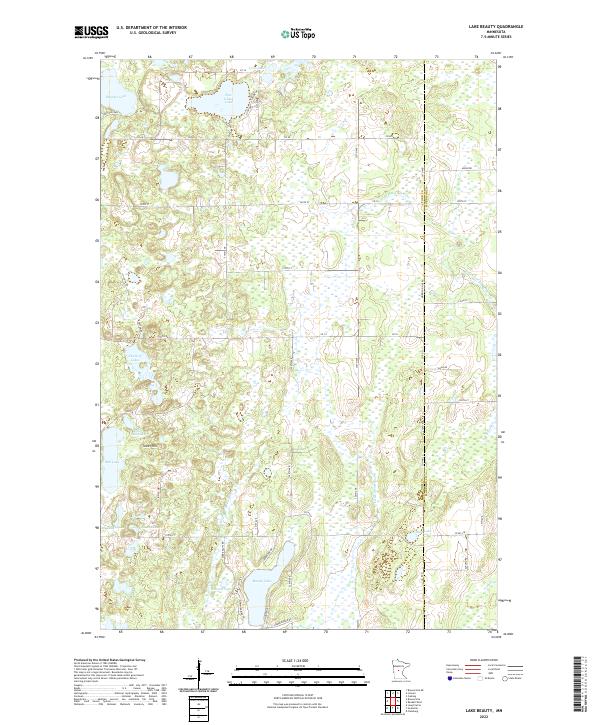
2022 Map of Lake Beauty
USGS Topo · Published 2022About this map
Tower Hill rises as a prominent landmark in this central Minnesota landscape, situated just east of Mill Lake and Little Mill Lake. The terrain is defined by a dense network of glacial basins and watercourses, including the Chain of Lakes and Pine Island Lake. Local drainage is managed by the Spring Br Swan River and Little Swan River, which flow through the southern portion of the sheet near Beauty Lake.
Find a feature on this map
62 named features on this map. Tap any name to fly to it.
Don’t see what you’re looking for? This feature index may not catch every label — zoom into the map to look around manually.
Map Details
Editions of this 2022 Lake Beauty Map
This is the sole edition of this map. No revisions or reprints were ever made.
Other maps of this area

1947 · Flensburg
USGS Topo · 1:25,000

1948 · Cushing
USGS Topo · 1:62,500

1950 · Swanville
USGS Topo · 1:62,500

1950 · Cushing
USGS Topo · 1:62,500

1951 · Flensburg
USGS Topo · 1:25,000

1953 · Brainerd
USGS Topo · 1:250,000

1953 · Saint Cloud
USGS Topo · 1:250,000

1957 · Brainerd
USGS Topo · 1:250,000

1957 · Saint Cloud
USGS Topo · 1:250,000

1958 · Saint Cloud
USGS Topo · 1:250,000