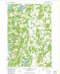
1981 Map of Lake Beauty
USGS Topo · Published 1982About this map
Pine Island Lake and Turtle Creek anchor the northern landscape of this Central Minnesota region, where the scattered settlements of Cushing and Culdrum sit amid a dense network of glacial wetlands. The terrain is defined by a complex hydrologic system, including the South Branch Little Elk River and the interconnected waters of Chain Lakes. Local landmarks such as Tower Lookout Hill and the Zion Cem provide specific points of interest for genealogists and researchers tracking the rural development of Little Elk and Bruce townships.
Find a feature on this map
33 named features on this map. Tap any name to fly to it.
Don’t see what you’re looking for? This feature index may not catch every label — zoom into the map to look around manually.
Map Details
Editions of this 1981 Lake Beauty Map
This is the sole edition of this map. No revisions or reprints were ever made.
Other maps of this area

1947 · Flensburg
USGS Topo · 1:25,000

1948 · Cushing
USGS Topo · 1:62,500

1950 · Swanville
USGS Topo · 1:62,500

1950 · Cushing
USGS Topo · 1:62,500

1951 · Flensburg
USGS Topo · 1:25,000

1953 · Brainerd
USGS Topo · 1:250,000

1953 · Saint Cloud
USGS Topo · 1:250,000

1957 · Brainerd
USGS Topo · 1:250,000

1957 · Saint Cloud
USGS Topo · 1:250,000

1958 · Saint Cloud
USGS Topo · 1:250,000