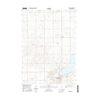
2016 Map of Lake Benton
USGS Topo · Published 2016About this map
The town of Lake Benton sits at the southwestern shore of its namesake lake, framed by the prominent geological rise of the Coteau des Prairies. This high plateau landscape is carved by numerous watercourses including Norwegian Cr and Medary Cr, alongside managed drainage like County Ditch Number Twenty. The map reveals a high concentration of sites for genealogical research, such as the Danish Evangelical Cem and the Briffett Family Cem. These sites, along with Memorial Cem and Immanuel Cem, indicate the heritage of early settlers in this portion of Lincoln County. The landscape is defined by a rigorous section-line road grid, featuring routes like Norwegian Creek Rd and Co Rd 12, which connect the scattered agricultural operations across the prairie highlands.
Find a feature on this map
43 named features on this map. Tap any name to fly to it.
Don’t see what you’re looking for? This feature index may not catch every label — zoom into the map to look around manually.
Map Details
Editions of this 2016 Lake Benton Map
This is the sole edition of this map. No revisions or reprints were ever made.
Other maps of this area

1953 · Watertown
USGS Topo · 1:250,000

1958 · Watertown
USGS Topo · 1:250,000

1963 · Tyler
USGS Topo · 1:24,000

1963 · Arco
USGS Topo · 1:24,000

1967 · Ruthton NW
USGS Topo · 1:24,000

1967 · Verdi
USGS Topo · 1:24,000

1967 · Lake Benton NW
USGS Topo · 1:24,000

1967 · Lake Benton
USGS Topo · 1:24,000

1967 · Lake Benton SW
USGS Topo · 1:24,000

1967 · Lake Benton NE
USGS Topo · 1:24,000