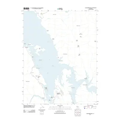
2012 Map of Lake Berryessa
USGS Topo · Published 2012About this map
Lake Berryessa dominates this landscape, its expansive waters filling the valley floor and surrounding numerous landforms such as Big Island and Goat Island. The map documents the developed shoreline as it appeared in the early 21st century, featuring recreational hubs like the Berryessa Marina and Spanish Flat Resort. Near the western shore, the Monticello Cem serves as a poignant reminder of the community displaced by the reservoir's creation decades earlier.
Find a feature on this map
46 named features on this map. Tap any name to fly to it.
Don’t see what you’re looking for? This feature index may not catch every label — zoom into the map to look around manually.
Map Details
Editions of this 2012 Lake Berryessa Map
This is the sole edition of this map. No revisions or reprints were ever made.
Other maps of this area

1902 · Napa
USGS Topo · 1:125,000

1905 · Esparto
USGS Topo · 1:24,000

1916 · Esparto
USGS Topo · 1:31,680

1921 · Mt. Vaca
USGS Topo · 1:62,500

1924 · Capay
USGS Topo · 1:62,500

1942 · Sonoma
USGS Topo · 1:62,500

1942 · Mt. Vaca
USGS Topo · 1:62,500

1942 · St. Helena
USGS Topo · 1:62,500

1943 · Capay
USGS Topo · 1:62,500

1945 · Capay
USGS Topo · 1:62,500
Featured Places
- Steel Canyon Resort, CA
- Berryessa Highlands, CA
- Spanish Flat, CA
- Spanish Flat Resort, CA
- Yolo County, CA