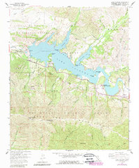
1959 Map of Lake Cachuma
USGS Topo · Published 1989About this map
Lake Cachuma serves as the central focal point of this Santa Barbara County landscape, a massive reservoir created by the construction of the Cachuma Dam along the Santa Ynez River. The map illustrates the surrounding geography of the Santa Ynez Mountains, where prominent summits like Santa Ynez Peak and Broadcast Peak overlook the valley. Human presence is concentrated at Cachuma Village and the Cachuma County Park, while the historic Rancho San Fernando Rey sits near the eastern reaches of the lake.
Find a feature on this map
54 named features on this map. Tap any name to fly to it.
Don’t see what you’re looking for? This feature index may not catch every label — zoom into the map to look around manually.
Map Details
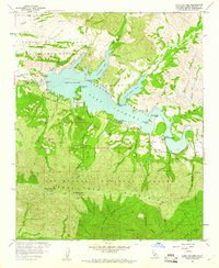
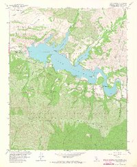
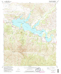
Editions of this 1959 Lake Cachuma Map
4 editions found
Other maps of this area

1902 · Santa Ynez
USGS Topo · 1:125,000

1905 · Santa Ynez
USGS Topo · 1:125,000

1905 · Lompoc
USGS Topo · 1:125,000

1941 · San Rafael Mtn.
USGS Topo · 1:62,500

1942 · Lompoc
USGS Topo · 1:125,000

1942 · Gaviota
USGS Topo · 1:62,500

1942 · Goleta
USGS Topo · 1:62,500

1942 · San Rafael Mtn.
USGS Topo · 1:62,500

1942 · Los Olivos
USGS Topo · 1:62,500

1943 · San Rafael Mtn.
USGS Topo · 1:62,500