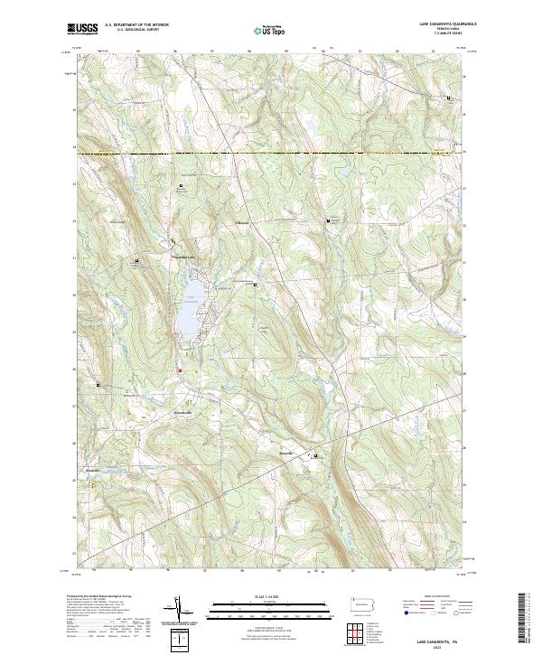
2023 Map of Lake Canadohta
USGS Topo · Published 2023This historical map portrays the area of Lake Canadohta in 2023, primarily covering Crawford County as well as portions of Erie County. Featuring a scale of 1:24000, this map provides a highly detailed snapshot of the terrain, roads, buildings, counties, and historical landmarks in the Lake Canadohta region at the time. Published in 2023, it is the sole known edition of this map.
Find a feature on this map
80 named features on this map. Tap any name to fly to it.
Don’t see what you’re looking for? This feature index may not catch every label — zoom into the map to look around manually.
Map Details
Editions of this 2023 Lake Canadohta Map
This is the sole edition of this map. No revisions or reprints were ever made.
Historical Maps of Erie County Through Time
14 maps found
1959 Beaver Center
Crawford County, PA
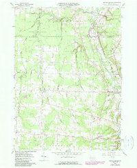
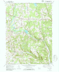
1967 Centerville
Crawford County, PA
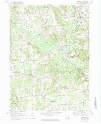
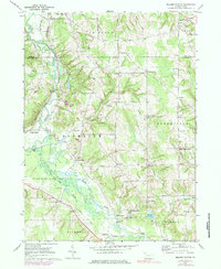
1967 Lake Canadohta
Crawford County, PA
1967 Millers Station
Crawford County, PA
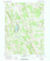
1967 Sugar Lake
Crawford County, PA
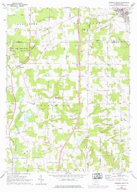
1968 Edinboro South
Crawford County, PA
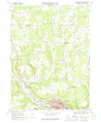
1968 Titusville North
Crawford County, PA
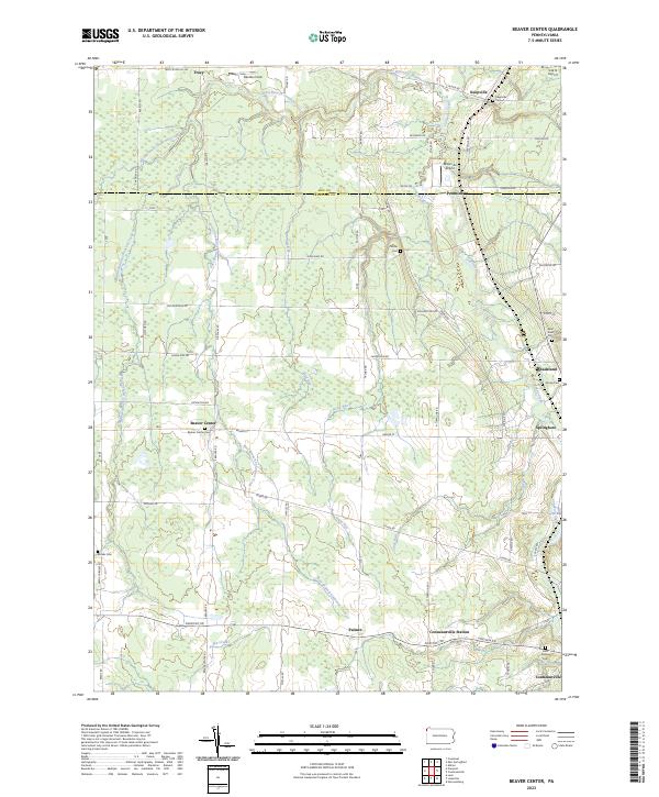
2023 Beaver Center
Crawford County, PA
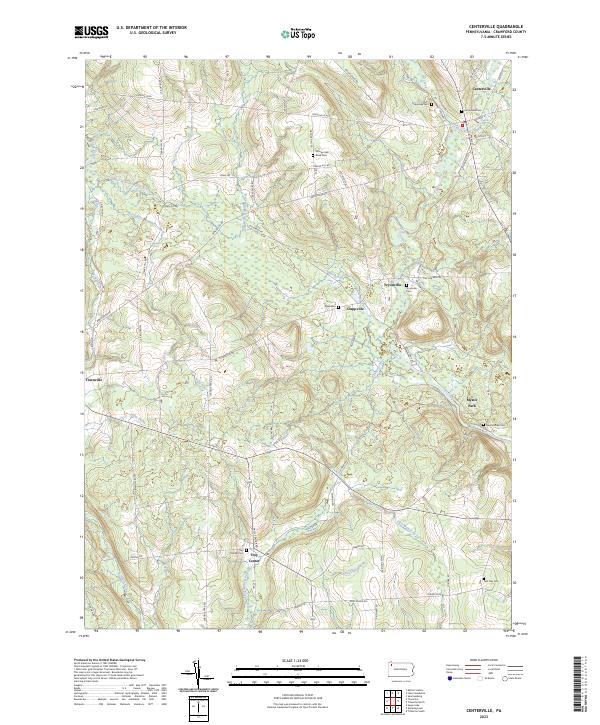
2023 Centerville
Crawford County, PA
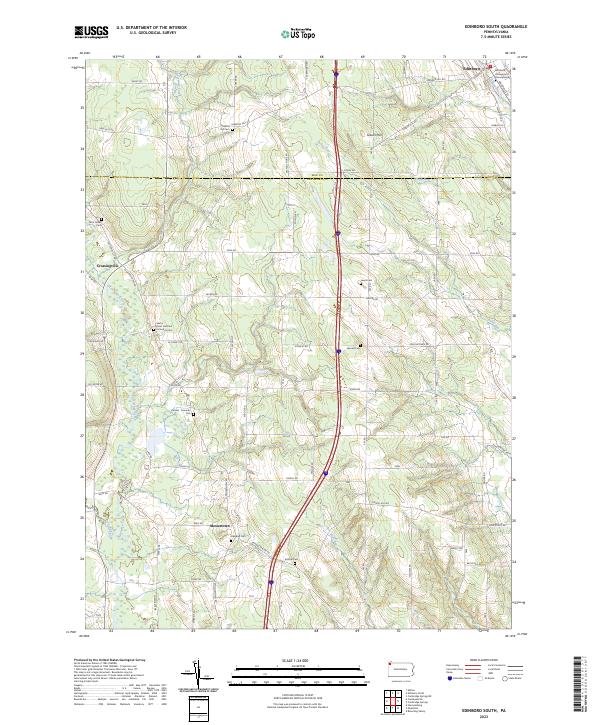
2023 Edinboro South
Crawford County, PA
2023 Lake Canadohta
Crawford County, PA
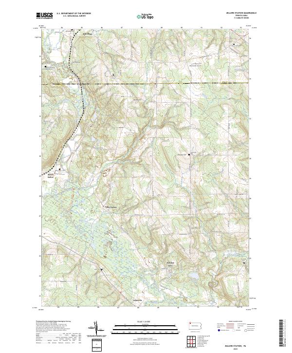
2023 Millers Station
Crawford County, PA
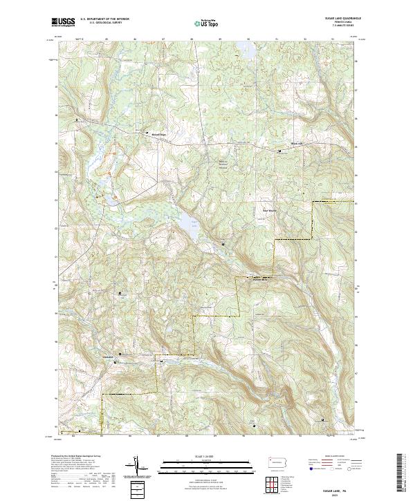
2023 Sugar Lake
Crawford County, PA
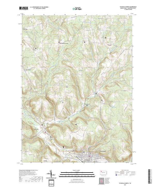
2023 Titusville North
Crawford County, PA