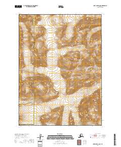
2018 Map of Lake Clark A-2 NE
USGS Topo · Published 2018About this map
The Aleutian Range dominates this portion of the Alaskan wilderness, where the high-altitude terrain is preserved within Lake Clark National Park. This 2018 survey illustrates the complex boundary where the Lake and Peninsula Borough meets the Kenai Peninsula Borough, a line that follows the dramatic shifts in elevation characteristic of the region. The Tuxedni River flows through the eastern portion of the sheet, carving a path through the steep topographic contours. This document provides a clear view of the protected landscape before any major development, showing a wilderness defined almost entirely by its natural hydrology and glacial landforms. The absence of roads or permanent settlements highlights the extreme isolation of this parkland, making it an essential reference for understanding the modern state of one of Alaska’s most formidable mountain environments.
Find a feature on this map
4 named features on this map. Tap any name to fly to it.
Don’t see what you’re looking for? This feature index may not catch every label — zoom into the map to look around manually.
Map Details
Editions of this 2018 Lake Clark A-2 NE Map
This is the sole edition of this map. No revisions or reprints were ever made.
Other maps of this area

1946 · Lake Clark
USGS Topo · 1:250,000

1951 · Lake Clark
USGS Topo · 1:250,000

1958 · Lake Clark A-1
USGS Topo · 1:63,360

1958 · Lake Clark B-1
USGS Topo · 1:63,360
1958 · Lake Clark A-2
USGS Topo · 1:63,360
1958 · Lake Clark B-2
USGS Topo · 1:63,360

1958 · Lake Clark
USGS Topo · 1:250,000
2018 · Lake Clark B-1 SW
USGS Topo · 1:25,000
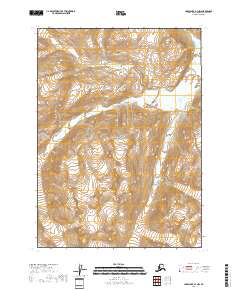
2018 · Lake Clark A-1 NW
USGS Topo · 1:25,000
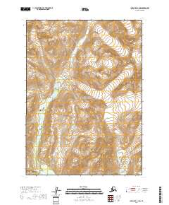
2018 · Lake Clark A-1 SW
USGS Topo · 1:25,000