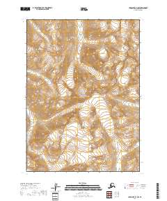
2018 Map of Lake Clark B-1 NW
USGS Topo · Published 2018About this map
Lake Clark National Park dominates this high-altitude Alaskan landscape within the Kenai Peninsula Borough, characterized by extreme elevation changes and glacial geography. The terrain is organized by the Public Land Survey System, with the map recording divisions for t5n r23w, t5n r22w, t4n r23w, and t4n r24w. This specific survey illustrates the complex drainage patterns and glacial cirques typical of the Chigmit Mountains region, where steep contour lines reveal a topography of deep valleys and sharp ridges. As a 2018 record, it documents the preserved wilderness and hydrological state of the park's interior, providing a foundational baseline for studying land use and environmental shifts within this protected federal territory.
Find a feature on this map
7 named features on this map. Tap any name to fly to it.
Don’t see what you’re looking for? This feature index may not catch every label — zoom into the map to look around manually.
Map Details
Editions of this 2018 Lake Clark B-1 NW Map
This is the sole edition of this map. No revisions or reprints were ever made.
Other maps of this area

1946 · Lake Clark
USGS Topo · 1:250,000

1951 · Lake Clark
USGS Topo · 1:250,000

1958 · Lake Clark B-1
USGS Topo · 1:63,360

1958 · Lake Clark C-2
USGS Topo · 1:63,360
1958 · Lake Clark C-1
USGS Topo · 1:63,360
1958 · Lake Clark B-2
USGS Topo · 1:63,360

1958 · Lake Clark
USGS Topo · 1:250,000
2018 · Lake Clark B-1 SW
USGS Topo · 1:25,000
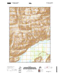
2018 · Lake Clark B-1 SE
USGS Topo · 1:25,000
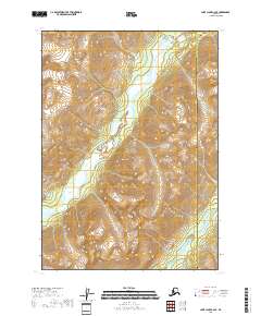
2018 · Lake Clark C-2 SE
USGS Topo · 1:25,000