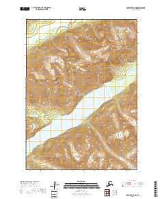
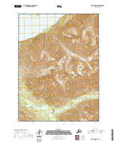
2018 Map of Lake Clark B-2 NW
USGS Topo · Published 2018About this map
Lake Clark National Park encompasses the dramatic glacial and mountain terrain captured in this topographic survey. The landscape is defined by the headwaters of major hydrological systems, notably the Little Lake Clark basin which serves as a central catchment for the surrounding peaks. In the northern reaches, the Tlikakila River cuts through the steep topography, while the Chokotonk River drains the eastern slopes. The map reflects a pristine wilderness environment, documenting the precise contours of the high ridges and the intricate drainage patterns of the river valleys before they feed into the larger Lake Clark system. This 2018 record provides a detailed look at the physical geography of the Lake and Peninsula Borough, where elevation and water define every movement through the terrain.
Find a feature on this map
10 named features on this map. Tap any name to fly to it.
Don’t see what you’re looking for? This feature index may not catch every label — zoom into the map to look around manually.
Map Details
Editions of this 2018 Lake Clark B-2 NW Map
This is the sole edition of this map. No revisions or reprints were ever made.
Other maps of this area

1946 · Lake Clark
USGS Topo · 1:250,000

1951 · Lake Clark
USGS Topo · 1:250,000

1954 · Lake Clark C-3
USGS Topo · 1:63,360

1954 · Lake Clark B-3
USGS Topo · 1:63,360

1958 · Lake Clark C-2
USGS Topo · 1:63,360
1958 · Lake Clark B-2
USGS Topo · 1:63,360

1958 · Lake Clark
USGS Topo · 1:250,000
2018 · Lake Clark B-3 NE
USGS Topo · 1:25,000
2018 · Lake Clark C-3 SE
USGS Topo · 1:25,000
2018 · Lake Clark B-3 SE
USGS Topo · 1:25,000