
1912 Map of Lake Cormorant
USGS Topo · Published 1912About this map
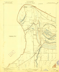
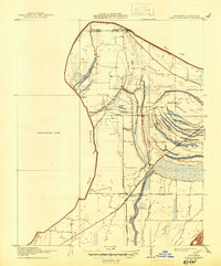
The alluvial bottomlands of the Mississippi Delta are captured in detail here, just south of the Tennessee border. The landscape is defined by the shifting course of the Old River and the complex drainage of the Tallahatchie basin, featuring a network of oxbow lakes and bayous including Fish Lake and Horn Lake. Settlement patterns follow the elevated ground and transportation corridors, with Norfolk and its associated Norfolk Landing positioned along the riverbank. Further inland, the Yazoo and Mississippi Valley R. R. serves as the primary artery for the local economy, connecting the community at Lake Cormorant with the rest of the county. The map preserves the locations of early social hubs like the Morning Star Church and small stops such as Blue Goose and Glover, providing a clear view of DeSoto County's agricultural landscape before modern levee and drainage systems fully transformed the terrain.
Find a feature on this map
15 named features on this map. Tap any name to fly to it.
Don’t see what you’re looking for? This feature index may not catch every label — zoom into the map to look around manually.
Map Details
Editions of this 1912 Lake Cormorant Map
3 editions found
Other maps of this area

1908 · Lake Cormorant
USGS Topo · 1:24,000

1916 · Memphis
USGS Topo · 1:62,500

1925 · Memphis
USGS Topo · 1:48,000

1927 · Memphis
USGS Topo · 1:62,500

1931 · Horseshoe Lake
USGS Topo · 1:62,500

1932 · Horn Lake
USGS Topo · 1:48,000

1935 · Horn Lake
USGS Topo · 1:62,500

1939 · Horseshoe Lake
USGS Topo · 1:62,500

1939 · Edmondson
USGS Topo · 1:62,500

1939 · Memphis
USGS Topo · 1:62,500