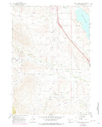
1967 Map of Lake De Smet West
USGS Topo · Published 1978About this map
Lake De Smet dominates the eastern edge of this Wyoming landscape, where the high plains meet the intricate drainage systems of Johnson County. In the late 1960s, this area was defined by a sophisticated network of irrigation infrastructure, including the long Lake De Smet Canal and a collection of family-named water projects such as Ritchey Ditch, Kempton Ditch, and the uniquely named Fox Lily Pride of the Valley Ditch.
Find a feature on this map
40 named features on this map. Tap any name to fly to it.
Don’t see what you’re looking for? This feature index may not catch every label — zoom into the map to look around manually.
Map Details
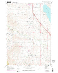
Editions of this 1967 Lake De Smet West Map
3 editions found
Other maps of this area

1900 · Fort McKinney
USGS Topo · 1:125,000

1903 · Fort McKinney
USGS Topo · 1:125,000

1909 · Sheridan
USGS Topo · 1:125,000

1911 · Sheridan
USGS Topo · 1:125,000

1955 · Sheridan
USGS Topo · 1:250,000

1958 · Sheridan
USGS Topo · 1:250,000

1962 · Sheridan
USGS Topo · 1:250,000

1967 · Lake De Smet West
USGS Topo · 1:24,000
1967 · Hunter Mesa
USGS Topo · 1:24,000
1967 · Stone Mountain
USGS Topo · 1:24,000