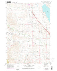
1967 Map of Lake De Smet West
USGS Topo · Published 1978About this map
Lake De Smet dominates the eastern landscape of this Wyoming quadrangle, serving as a focal point for the region's complex water management systems in the late 1960s. The map illustrates an intricate network of irrigation and diversion projects, including the Lake De Smet Canal, Kempton Ditch, and Hallie Ditch, which redirect the flow of high-country drainage like Shell Creek and Sayles Creek. These features underscore the vital role of water rights and engineering in sustaining the local agricultural and ranching economy.
Find a feature on this map
30 named features on this map. Tap any name to fly to it.
Don’t see what you’re looking for? This feature index may not catch every label — zoom into the map to look around manually.
Map Details
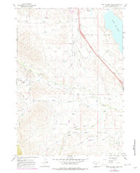
Editions of this 1967 Lake De Smet West Map
3 editions found
Other maps of this area

1900 · Fort McKinney
USGS Topo · 1:125,000

1903 · Fort McKinney
USGS Topo · 1:125,000

1909 · Sheridan
USGS Topo · 1:125,000

1911 · Sheridan
USGS Topo · 1:125,000

1955 · Sheridan
USGS Topo · 1:250,000

1958 · Sheridan
USGS Topo · 1:250,000

1962 · Sheridan
USGS Topo · 1:250,000

1967 · Lake De Smet West
USGS Topo · 1:24,000
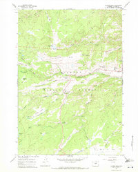
1967 · Hunter Mesa
USGS Topo · 1:24,000
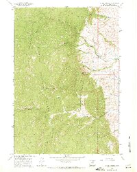
1967 · Stone Mountain
USGS Topo · 1:24,000