
1906 Map of Lake Geneva
USGS Topo · Published 1906About this map
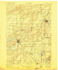
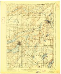
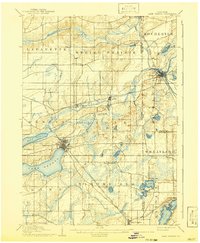
The resort character of Lake Geneva is already well established at the turn of the twentieth century, shown here with the developed street grid of the city of Lake Geneva nestled on the lake's eastern shore. The map reveals an intricate glacial landscape dominated by numerous kettle lakes and wetland depressions, including Lake Como, Powers Lake, and Bohner Lake. A robust transportation network of three major rail lines converges near the industrial and agricultural hub of Burlington, where the Fox River meets White River. Further south, the rural character of Bloomfield and Linn townships is interrupted only by small unincorporated communities like North Bloomfield and Zenda. The proximity to the state line is marked by Genoa Junction, serving as a critical rail intersection for the C. M. and St. P. R. R. and the Chicago and Northwestern Railroad.
Find a feature on this map
50 named features on this map. Tap any name to fly to it.
Don’t see what you’re looking for? This feature index may not catch every label — zoom into the map to look around manually.
Map Details
Editions of this 1906 Lake Geneva Map
4 editions found
Other maps of this area

1891 · Muskego
USGS Topo · 1:62,500

1892 · Whitewater
USGS Topo · 1:62,500

1892 · Eagle
USGS Topo · 1:62,500

1893 · Delavan
USGS Topo · 1:62,500

1893 · Whitewater
USGS Topo · 1:62,500

1893 · Silver Lake
USGS Topo · 1:62,500

1893 · Geneva
USGS Topo · 1:62,500

1894 · Eagle
USGS Topo · 1:62,500

1897 · Eagle
USGS Topo · 1:62,500

1901 · Muskego
USGS Topo · 1:62,500