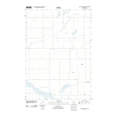
2010 Map of Lake Hanska East
USGS Topo · Published 2010About this map
Lake Hanska anchors the southern landscape of this Brown County region, where the prairie gives way to a complex system of glacial basins and watercourses. The drainage patterns here are heavily managed, evidenced by the presence of County Ditch Number Thirtyfour and the Shady Lake Dam. Local history is centered around quiet rural intersections and the Little Cottonwood River, which meanders through the northern section past School Lake and Juni Lake. Genealogists will find this 2010 survey particularly useful for locating the Zion Cemetery and Lake Hanska Cemetery, which serve as permanent markers of the area's agricultural community. The transition from active water bodies to terrain like the Broom Lakebed illustrates the evolving hydrology of the Minnesota countryside.
Find a feature on this map
30 named features on this map. Tap any name to fly to it.
Don’t see what you’re looking for? This feature index may not catch every label — zoom into the map to look around manually.
Map Details
Editions of this 2010 Lake Hanska East Map
This is the sole edition of this map. No revisions or reprints were ever made.
Other maps of this area

1953 · New Ulm
USGS Topo · 1:250,000

1957 · New Ulm
USGS Topo · 1:250,000

1958 · New Ulm
USGS Topo · 1:250,000

1964 · New Ulm
USGS Topo · 1:24,000

1964 · Sleepy Eye
USGS Topo · 1:24,000

1964 · Essig
USGS Topo · 1:24,000

1965 · Madelia
USGS Topo · 1:24,000

1965 · Hanska
USGS Topo · 1:24,000

1967 · New Ulm
USGS Topo · 1:250,000

1967 · Lake Hanska West
USGS Topo · 1:24,000