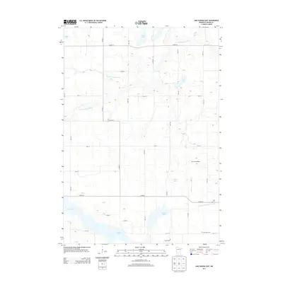
2013 Map of Lake Hanska East
USGS Topo · Published 2013About this map
Hanska Lake dominates the southern portion of this Brown County landscape, surrounded by a complex network of agricultural drainage and small water bodies. The terrain is defined by its glacial history, visible in features like the Broom Lakebed and numerous depressions such as Omsrud Lake and Shady Lake. The Little Cottonwood River meanders across the northern half of the sheet, supplemented by man-made engineering including County Ditch Number Eleven and County Ditch Number Thirtyfour. This 2013 survey illustrates a rural environment where land use is dictated by water management, with a grid of county roads connecting isolated landmarks. Genealogists will find the locations of Lake Hanska Cem and Zion Cem particularly useful for identifying family history sites within this prairie pothole region.
Find a feature on this map
33 named features on this map. Tap any name to fly to it.
Don’t see what you’re looking for? This feature index may not catch every label — zoom into the map to look around manually.
Map Details
Editions of this 2013 Lake Hanska East Map
This is the sole edition of this map. No revisions or reprints were ever made.
Other maps of this area

1953 · New Ulm
USGS Topo · 1:250,000

1957 · New Ulm
USGS Topo · 1:250,000

1958 · New Ulm
USGS Topo · 1:250,000

1964 · New Ulm
USGS Topo · 1:24,000

1964 · Sleepy Eye
USGS Topo · 1:24,000

1964 · Essig
USGS Topo · 1:24,000

1965 · Madelia
USGS Topo · 1:24,000

1965 · Hanska
USGS Topo · 1:24,000

1967 · New Ulm
USGS Topo · 1:250,000

1967 · Lake Hanska West
USGS Topo · 1:24,000