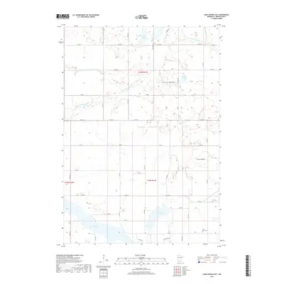
2019 Map of Lake Hanska East
USGS Topo · Published 2019About this map
Glacial lakes and a sophisticated agricultural drainage system characterize this portion of Brown County. The southern edge of the map is dominated by the northern reaches of Lake Hanska, a significant water body flanked by the Lake Hanska Cem. Moving north, the landscape is defined by the meandering Little Cottonwood River and several distinct basins, including Omsrud Lake, Juni Lake, and School Lake.
Find a feature on this map
30 named features on this map. Tap any name to fly to it.
Don’t see what you’re looking for? This feature index may not catch every label — zoom into the map to look around manually.
Map Details
Editions of this 2019 Lake Hanska East Map
This is the sole edition of this map. No revisions or reprints were ever made.
Other maps of this area

1953 · New Ulm
USGS Topo · 1:250,000

1957 · New Ulm
USGS Topo · 1:250,000

1958 · New Ulm
USGS Topo · 1:250,000

1964 · New Ulm
USGS Topo · 1:24,000

1964 · Sleepy Eye
USGS Topo · 1:24,000

1964 · Essig
USGS Topo · 1:24,000

1965 · Madelia
USGS Topo · 1:24,000

1965 · Hanska
USGS Topo · 1:24,000

1967 · New Ulm
USGS Topo · 1:250,000

1967 · Lake Hanska West
USGS Topo · 1:24,000