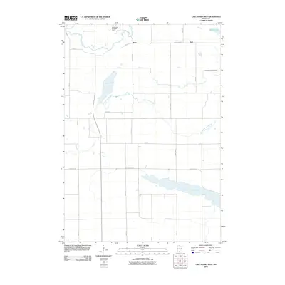
2010 Map of Lake Hanska West
USGS Topo · Published 2010About this map
Lake Hanska and its surrounding agricultural plains define this region of Brown County during the early 21st century. The map illustrates a landscape where natural water systems and human-engineered drainage intersect, shown by the meandering Cottonwood River in the northwest and the precisely cut County Ditch Number Eleven further east. Small rural centers like Iberia and Stark remain as focal points for the surrounding farmsteads, connected by a rigid grid of township roads and county highways including County Hwy-24 and County Hwy-10.
Find a feature on this map
25 named features on this map. Tap any name to fly to it.
Don’t see what you’re looking for? This feature index may not catch every label — zoom into the map to look around manually.
Map Details
Editions of this 2010 Lake Hanska West Map
This is the sole edition of this map. No revisions or reprints were ever made.
Other maps of this area

1953 · Morgan
USGS Topo · 1:62,500

1953 · New Ulm
USGS Topo · 1:250,000

1957 · New Ulm
USGS Topo · 1:250,000

1958 · New Ulm
USGS Topo · 1:250,000

1964 · Sleepy Eye
USGS Topo · 1:24,000

1964 · Essig
USGS Topo · 1:24,000

1967 · New Ulm
USGS Topo · 1:250,000

1967 · Lake Hanska West
USGS Topo · 1:24,000

1967 · Godahl
USGS Topo · 1:24,000

1967 · Darfur
USGS Topo · 1:24,000