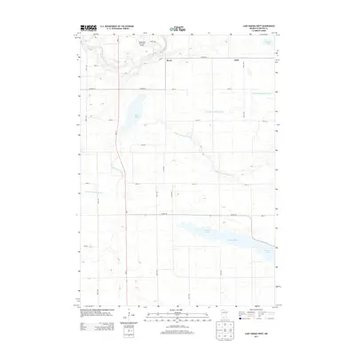
2013 Map of Lake Hanska West
USGS Topo · Published 2013About this map
Hanska Lake and the winding course of the Little Cottonwood River anchor this rural Brown County landscape, illustrating a region defined by its hydrology and agriculture. The northern portion of the map is dominated by the Cottonwood River valley, where the Sleepy Eye Municipal Airport sits near the small community of Iberia. This 2013 survey highlights the intricate drainage network essential to local farming, including County Ditch Number Eleven, which cuts across the prairie towards the Stark settlement. The map reveals how the modern road system, led by MN-4, follows the section lines of the original land surveys, connecting scattered homesteads and water bodies like Gilman Lake and Zanders Lake. The interplay between the natural river bends and the straight-line drainage ditches provides a clear picture of how water management has shaped this Minnesota terrain.
Find a feature on this map
28 named features on this map. Tap any name to fly to it.
Don’t see what you’re looking for? This feature index may not catch every label — zoom into the map to look around manually.
Map Details
Editions of this 2013 Lake Hanska West Map
This is the sole edition of this map. No revisions or reprints were ever made.
Other maps of this area
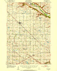
1953 · Morgan
USGS Topo · 1:62,500
1953 · New Ulm
USGS Topo · 1:250,000
1957 · New Ulm
USGS Topo · 1:250,000
1958 · New Ulm
USGS Topo · 1:250,000
1964 · Sleepy Eye
USGS Topo · 1:24,000
1964 · Essig
USGS Topo · 1:24,000
1967 · New Ulm
USGS Topo · 1:250,000
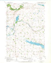
1967 · Lake Hanska West
USGS Topo · 1:24,000
1967 · Godahl
USGS Topo · 1:24,000
1967 · Darfur
USGS Topo · 1:24,000