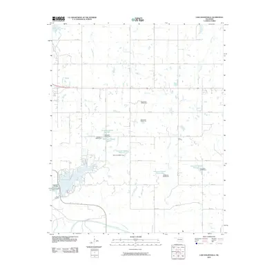
2010 Map of Lake Holdenville
USGS Topo · Published 2010About this map
Lake Holdenville dominates the southwestern portion of this Central Oklahoma landscape, formed by the Holdenville City Dam to manage the local watershed. The terrain is defined by a dense network of tributaries including Tiger Creek, Yeager Creek, and Elm Creek, which move south toward the Canadian River as it cuts across the bottom of the quadrangle. This 2010 survey illustrates a rural infrastructure centered on a grid of county roads such as E W 131 RD and NS 376 RD. Local history and genealogy are anchored by Shiloh Cemetery in the east and Glory Cemetery near the lake's southern edge. The map also highlights several unnamed reservoirs and dams, such as Oknoname 063024 Reservoir, reflecting the region's managed water resources.
Find a feature on this map
48 named features on this map. Tap any name to fly to it.
Don’t see what you’re looking for? This feature index may not catch every label — zoom into the map to look around manually.
Map Details
Editions of this 2010 Lake Holdenville Map
This is the sole edition of this map. No revisions or reprints were ever made.
Other maps of this area

1896 · Coalgate
USGS Topo · 1:125,000

1899 · Coalgate
USGS Topo · 1:125,000

1900 · Wewoka
USGS Topo · 1:125,000

1900 · Coalgate
USGS Topo · 1:125,000

1954 · Oklahoma City
USGS Topo · 1:250,000

1957 · Ardmore
USGS Topo · 1:250,000

1957 · Oklahoma City
USGS Topo · 1:250,000

1963 · Ardmore
USGS Topo · 1:250,000

1963 · Oklahoma City
USGS Topo · 1:250,000

1967 · Calvin East
USGS Topo · 1:24,000