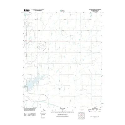
2012 Map of Lake Holdenville
USGS Topo · Published 2012About this map
Lake Holdenville dominates the southwestern quadrant of this 2012 survey, its irregular shoreline reaching north toward the rural outskirts of the Hughes County seat. Along the western dam, the Holdenville State Fish Hatchery represents a significant local infrastructure point, while the Glory Cem sits just south of the lake's lower reaches. The landscape is defined by a dense network of sectional roads and meandering waterways, including Tiger Cr and Grief Cr, which drain the rolling terrain north of the Canadian River.
Find a feature on this map
42 named features on this map. Tap any name to fly to it.
Don’t see what you’re looking for? This feature index may not catch every label — zoom into the map to look around manually.
Map Details
Editions of this 2012 Lake Holdenville Map
This is the sole edition of this map. No revisions or reprints were ever made.
Other maps of this area

1896 · Coalgate
USGS Topo · 1:125,000

1899 · Coalgate
USGS Topo · 1:125,000

1900 · Wewoka
USGS Topo · 1:125,000

1900 · Coalgate
USGS Topo · 1:125,000

1954 · Oklahoma City
USGS Topo · 1:250,000

1957 · Ardmore
USGS Topo · 1:250,000

1957 · Oklahoma City
USGS Topo · 1:250,000

1963 · Ardmore
USGS Topo · 1:250,000

1963 · Oklahoma City
USGS Topo · 1:250,000

1967 · Calvin East
USGS Topo · 1:24,000