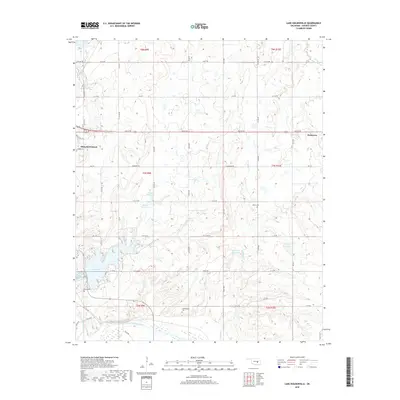
2018 Map of Lake Holdenville
USGS Topo · Published 2018About this map
Holdenville and the surrounding Hughes County landscape are defined by a complex network of water management and rural infrastructure. The city's eastern reaches give way to a series of numbered reservoirs, including 063019 Reservoir and 063029 Reservoir, which feed the local drainage systems leading toward the Canadian River and Little River at the southern boundary. This terrain, marked by several prominent creeks like Yeager Cr and Elm Cr, reflects the mid-20th-century development of the region's water resources for municipal and agricultural use.
Find a feature on this map
48 named features on this map. Tap any name to fly to it.
Don’t see what you’re looking for? This feature index may not catch every label — zoom into the map to look around manually.
Map Details
Editions of this 2018 Lake Holdenville Map
This is the sole edition of this map. No revisions or reprints were ever made.
Other maps of this area

1896 · Coalgate
USGS Topo · 1:125,000

1899 · Coalgate
USGS Topo · 1:125,000

1900 · Wewoka
USGS Topo · 1:125,000

1900 · Coalgate
USGS Topo · 1:125,000

1954 · Oklahoma City
USGS Topo · 1:250,000

1957 · Ardmore
USGS Topo · 1:250,000

1957 · Oklahoma City
USGS Topo · 1:250,000

1963 · Ardmore
USGS Topo · 1:250,000

1963 · Oklahoma City
USGS Topo · 1:250,000

1967 · Calvin East
USGS Topo · 1:24,000