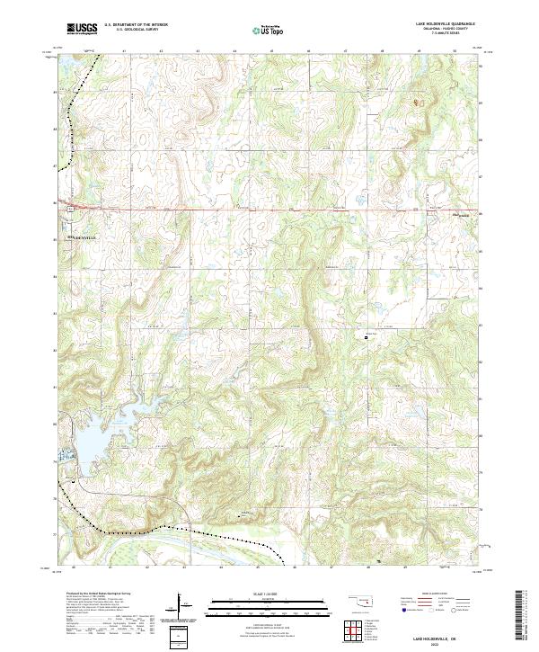
2022 Map of Lake Holdenville
USGS Topo · Published 2022About this map
Lake Holdenville and its surrounding drainage basin define this portion of Hughes County, where the landscape is carved by numerous tributaries including Tiger Creek, Yeager Cr, and Elm Cr. The city of Holdenville sits at the western edge of the quadrangle, serving as a regional hub connected by a grid of rural roads like EW133 Rd and NS374 Rd. This survey documents a complex system of water management, visible through several numbered reservoirs such as 063020 Reservoir and 063024 Reservoir, which support the local agricultural economy.
Find a feature on this map
68 named features on this map. Tap any name to fly to it.
Don’t see what you’re looking for? This feature index may not catch every label — zoom into the map to look around manually.
Map Details
Editions of this 2022 Lake Holdenville Map
This is the sole edition of this map. No revisions or reprints were ever made.
Other maps of this area

1896 · Coalgate
USGS Topo · 1:125,000

1899 · Coalgate
USGS Topo · 1:125,000

1900 · Wewoka
USGS Topo · 1:125,000

1900 · Coalgate
USGS Topo · 1:125,000

1954 · Oklahoma City
USGS Topo · 1:250,000

1957 · Ardmore
USGS Topo · 1:250,000

1957 · Oklahoma City
USGS Topo · 1:250,000

1963 · Ardmore
USGS Topo · 1:250,000

1963 · Oklahoma City
USGS Topo · 1:250,000

1967 · Calvin East
USGS Topo · 1:24,000