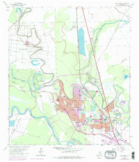
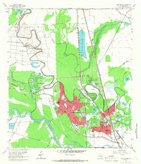
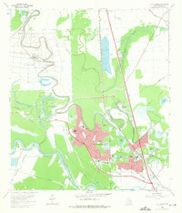
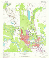
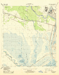
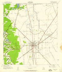
1963 Map of Lake Jackson
USGS Topo · Published 1977About this map
The Brazos River snakes along the western edge of this coastal prairie landscape, defining a region where correctional facilities and early suburban growth meet. Significant institutional footprints are established by the Department of Correction (Retrieve Unit) and the Department of Correction (Clemens Unit), which flank the winding course of Oyster Creek. The mid-century expansion of Lake Jackson is evident in the residential clusters around Center Way and Oyster Creek Drive, showing a planned community emerging from the former grounds of Lake Jackson Farms.
Find a feature on this map
59 named features on this map. Tap any name to fly to it.
Don’t see what you’re looking for? This feature index may not catch every label — zoom into the map to look around manually.
Map Details
Editions of this 1963 Lake Jackson Map
4 editions found
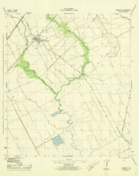
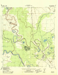
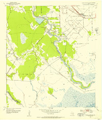
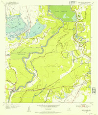
Other maps of this area
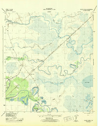
1943 · Oyster Creek
USGS Topo · 1:31,680
1943 · Jones Creek
USGS Topo · 1:31,680
1943 · Danbury
USGS Topo · 1:31,680
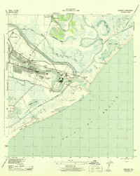
1943 · Freeport
USGS Topo · 1:31,680
1943 · Angleton
USGS Topo · 1:24,000
1943 · Snipe
USGS Topo · 1:31,680

1950 · Houston
USGS Topo · 1:250,000

1951 · Bay City
USGS Topo · 1:250,000
1952 · Cedar Lane NE
USGS Topo · 1:24,000
1952 · East Columbia
USGS Topo · 1:24,000