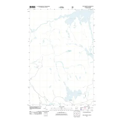
2011 Map of Lake Jeanette
USGS Topo · Published 2011About this map
Lake Jeanette and the complex waterways of the Minnesota-Ontario border define this landscape of interconnected basins and narrow channels. In the north, Loon Lake and its corresponding Loon Falls mark a rugged boundary where water moves through Fiftysix Rapids and the Devils Cascade. These natural features reflect the difficult movement required to navigate the boundary waters, where elevation changes are sharp and immediate.
Find a feature on this map
19 named features on this map. Tap any name to fly to it.
Don’t see what you’re looking for? This feature index may not catch every label — zoom into the map to look around manually.
Map Details
Editions of this 2011 Lake Jeanette Map
This is the sole edition of this map. No revisions or reprints were ever made.
Other maps of this area

1954 · International Falls
USGS Topo · 1:250,000

1957 · International Falls
USGS Topo · 1:250,000

1958 · International Falls
USGS Topo · 1:250,000

1963 · Echo Lake
USGS Topo · 1:24,000

1963 · Takucmich Lake
USGS Topo · 1:24,000

1963 · Snow Bay
USGS Topo · 1:24,000

1963 · Astrid Lake
USGS Topo · 1:24,000

1963 · Picket Lake
USGS Topo · 1:24,000

1963 · Lake Jeanette
USGS Topo · 1:24,000

1963 · Crane Lake
USGS Topo · 1:24,000