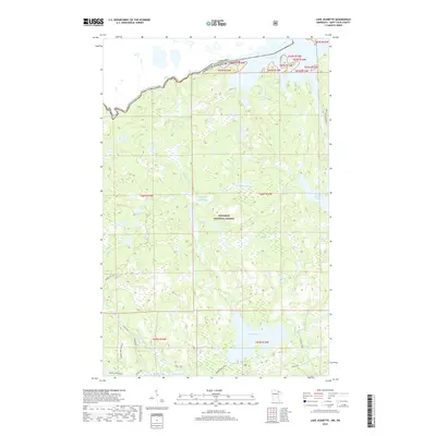
2019 Map of Lake Jeanette
USGS Topo · Published 2019About this map
The borderlands between Minnesota and Canada are defined here by a dense network of glacial lakes and waterways within the Superior National Forest. This remote stretch of St. Louis County shows the international boundary cutting through Loon Lake, where the Loon River flows toward the northwest. The landscape is characterized by its primitive connectivity, dominated by historic routes like the Sioux Hustler Trail and the Echo Trail that navigate around significant water bodies such as Lake Jeanette and Wolfpack Lake. A notable topographical feature is the Devils Cascade, situated along the water route between the larger lakes. The map details various forest service routes and spurs, including Maude Lake Spur A, which provides access to smaller interior features like Pauline Lake and Maude Creek.
Find a feature on this map
30 named features on this map. Tap any name to fly to it.
Don’t see what you’re looking for? This feature index may not catch every label — zoom into the map to look around manually.
Map Details
Editions of this 2019 Lake Jeanette Map
This is the sole edition of this map. No revisions or reprints were ever made.
Other maps of this area

1954 · International Falls
USGS Topo · 1:250,000

1957 · International Falls
USGS Topo · 1:250,000

1958 · International Falls
USGS Topo · 1:250,000

1963 · Echo Lake
USGS Topo · 1:24,000

1963 · Takucmich Lake
USGS Topo · 1:24,000

1963 · Snow Bay
USGS Topo · 1:24,000

1963 · Astrid Lake
USGS Topo · 1:24,000

1963 · Picket Lake
USGS Topo · 1:24,000

1963 · Lake Jeanette
USGS Topo · 1:24,000

1963 · Crane Lake
USGS Topo · 1:24,000