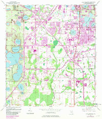
1953 Map of Lake Jessamine
USGS Topo · Published 1981About this map
Big Sand Lake and Lake Jessamine anchor this transition of the Florida landscape, where citrus groves and wetlands meet the advancing infrastructure of the mid-to-late 20th century. The map documents significant transportation developments, most notably the Bee Line Parkway Toll and Florida's Turnpike Toll Road cutting across the terrain. These corridors facilitate the growth of residential enclaves like Tangelo Park and Sky Lake, while older established areas such as Pine Castle and Edgewood maintain their position along the Seaboard Coast Line. Small neighborhood landmarks like Oak Ridge Ch and Morningside Park provide local points of interest for genealogists tracing family roots in the suburban expansion. Numerous named water bodies, including the descriptively named Rattlesnake Lake and Lake Willis, reflect the region's hydrologic character before further commercial development altered many of these original shorelines.
Find a feature on this map
35 named features on this map. Tap any name to fly to it.
Don’t see what you’re looking for? This feature index may not catch every label — zoom into the map to look around manually.
Map Details
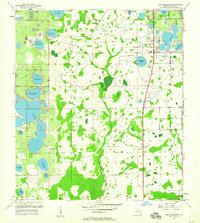
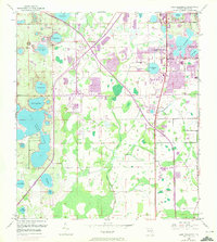
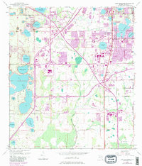
Editions of this 1953 Lake Jessamine Map
5 editions found
Other maps of this area

1953 · Lake Jessamine
USGS Topo · 1:24,000

1953 · St Cloud North
USGS Topo · 1:24,000

1953 · Pine Castle
USGS Topo · 1:24,000

1953 · Kissimmee
USGS Topo · 1:24,000

1953 · Windermere
USGS Topo · 1:24,000

1953 · Intercession City
USGS Topo · 1:24,000

1955 · Orlando
USGS Topo · 1:250,000

1956 · Winter Garden
USGS Topo · 1:24,000

1956 · Orlando West
USGS Topo · 1:24,000

1956 · Orlando East
USGS Topo · 1:24,000