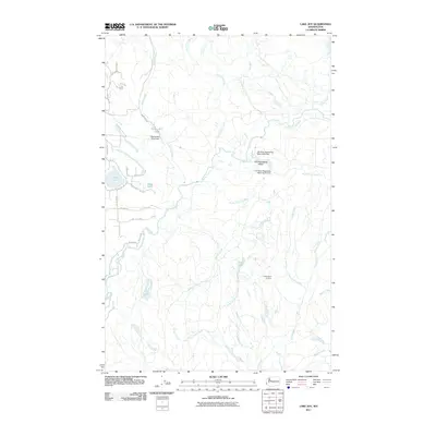
2011 Map of Lake Joy
USGS Topo · Published 2011About this map
Lake Joy and Moss Lake sit at the heart of this landscape, reflecting the hydrological management of King County's water resources. The area is defined by the complex convergence of the Tolt River and its major tributaries, including the North Fork Tolt River and South Fork Tolt River. Evidence of industrial and utility infrastructure is found at Swans Mill Pond Dam and the substantial Tolt Regulating Basin, which is secured by the Tolt River Regulating Basin West and South Dams. While much of the terrain is dominated by the drainages of Griffin Creek, Canyon Creek, and Tokul Creek, the higher elevations are marked by the Snoqualmie Lookout. The road network, including Swan Mill Rd and NE Moss Lake Rd, provides access to these isolated water bodies and the forested tracts between them.
Find a feature on this map
32 named features on this map. Tap any name to fly to it.
Don’t see what you’re looking for? This feature index may not catch every label — zoom into the map to look around manually.
Map Details
Editions of this 2011 Lake Joy Map
This is the sole edition of this map. No revisions or reprints were ever made.
Other maps of this area

1921 · Sultan
USGS Topo · 1:125,000

1923 · Sultan
USGS Topo · 1:125,000

1953 · Snoqualmie
USGS Topo · 1:24,000

1953 · Sultan
USGS Topo · 1:24,000

1953 · Lake Joy
USGS Topo · 1:24,000

1953 · Monroe
USGS Topo · 1:24,000

1953 · Fall City
USGS Topo · 1:24,000

1953 · Carnation
USGS Topo · 1:24,000

1956 · Monroe
USGS Topo · 1:62,500

1957 · Index
USGS Topo · 1:62,500