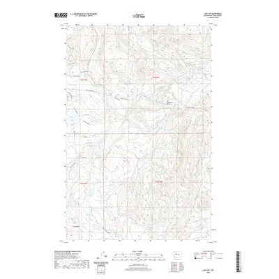
2020 Map of Lake Joy
USGS Topo · Published 2020About this map
Carnation serves as the primary settlement on this landscape, positioned where the valley floor begins to transition into the upland drainage basins of the Cascade foothills. The hydrology of the region is the defining characteristic, dominated by the confluence and management of the Tolt River system. Significant infrastructure for water management is visible at the Tolt Regulating Basin, which sits at the junction of the North Fork Tolt River and the S Fork Tolt River. This network is further supported by the Tolt Pipeline Trail, which cuts across the terrain near Moss Lake and Swans Mill-Pond. Moving south, the map tracks the winding paths of Griffin Cr and Tokul Cr, while the residential development around Lake Joy provides a contrast to the dense contour intervals of the surrounding ridges and timbered slopes.
Find a feature on this map
41 named features on this map. Tap any name to fly to it.
Don’t see what you’re looking for? This feature index may not catch every label — zoom into the map to look around manually.
Map Details
Editions of this 2020 Lake Joy Map
This is the sole edition of this map. No revisions or reprints were ever made.
Other maps of this area

1921 · Sultan
USGS Topo · 1:125,000

1923 · Sultan
USGS Topo · 1:125,000

1953 · Snoqualmie
USGS Topo · 1:24,000

1953 · Sultan
USGS Topo · 1:24,000

1953 · Lake Joy
USGS Topo · 1:24,000

1953 · Monroe
USGS Topo · 1:24,000

1953 · Fall City
USGS Topo · 1:24,000

1953 · Carnation
USGS Topo · 1:24,000

1956 · Monroe
USGS Topo · 1:62,500

1957 · Index
USGS Topo · 1:62,500