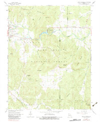
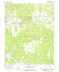
1968 Map of Lake Killarney
USGS Topo · Published 1983About this map
The Mark Twain National Forest dominates much of this landscape, where the rugged Saint Francois Mountains define the local geography. Between Ironton and Arcadia, the map reveals a community focused on leisure and convalescence during the late 1960s, featuring the Arcadia Valley Golf Club, a Drive-in Theater, and a Home for the Aged. To the east, Lake Killarney is flanked by the Killarney Shores development and the Arcadia Valley Bible Camp.
Find a feature on this map
55 named features on this map. Tap any name to fly to it.
Don’t see what you’re looking for? This feature index may not catch every label — zoom into the map to look around manually.
Map Details
Editions of this 1968 Lake Killarney Map
2 editions found
Other maps of this area

1926 · Des Arc
USGS Topo · 1:62,500

1929 · Des Arc
USGS Topo · 1:62,500

1930 · Coldwater
USGS Topo · 1:62,500

1937 · Ironton
USGS Topo · 1:48,000

1939 · Fredericktown
USGS Topo · 1:48,000

1945 · Ironton
USGS Topo · 1:62,500

1946 · Ironton
USGS Topo · 1:62,500

1947 · Fredericktown
USGS Topo · 1:62,500

1949 · Rolla
USGS Topo · 1:250,000

1949 · Coldwater
USGS Topo · 1:62,500