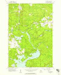
1956 Map of Lake Mary
USGS Topo · Published 1957About this map
Peavy Pond and the Michiganme River dominate this mid-century landscape in the Upper Peninsula, showing a region defined by its hydrography and timber resources. The map highlights the transition between the townships of Mansfield and Mastodon, centered on the expansive waters of Lake Mary. Civil infrastructure is concentrated near the settlement of Mansfield, where the Railroad Grade traces the path of former industrial activity through the Iron Range State Forest. Smaller settlements like Mansfield Location appear near the northern boundary, while recreational sites such as Township Park on Dawson Lake suggest the area's dual role as a site for both resource extraction and woodland leisure. The intricate network of creeks, including Davison Creek and Clarks Creek, feeds into the larger reservoir system created for hydroelectric power.
Find a feature on this map
26 named features on this map. Tap any name to fly to it.
Don’t see what you’re looking for? This feature index may not catch every label — zoom into the map to look around manually.
Map Details
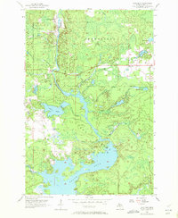
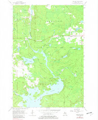
Editions of this 1956 Lake Mary Map
3 editions found
Other maps of this area

1899 · Sagola
USGS Topo · 1:62,500

1899 · Crystal Falls
USGS Topo · 1:62,500

1939 · Iron Mountain
USGS Topo · 1:48,000

1941 · Florence
USGS Topo · 1:48,000

1941 · Iron Mountain
USGS Topo · 1:48,000

1944 · Crystal Falls
USGS Topo · 1:24,000

1945 · Kelso Junction
USGS Topo · 1:24,000

1946 · Crystal Falls
USGS Topo · 1:31,680

1947 · Iron Mountain
USGS Topo · 1:48,000

1947 · Stager
USGS Topo · 1:24,000