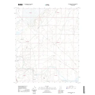
2020 Map of Lake McMillan South
USGS Topo · Published 2020About this map
The Pecos River snakes through this Eddy County landscape, carving a prominent path past the small riverside settlement of Adams Bend. This 2020 USGS survey reveals a terrain defined by its drainage patterns, where long erosional features like Dagger Draw, Soapberry Draw, and Spencer Draw channel water toward the river valley. The confluence of Rocky Arroyo and the Pecos indicates a dynamic hydrological environment, supporting localized vegetation and settlement away from the more arid uplands.
Find a feature on this map
20 named features on this map. Tap any name to fly to it.
Don’t see what you’re looking for? This feature index may not catch every label — zoom into the map to look around manually.
Map Details
Editions of this 2020 Lake McMillan South Map
This is the sole edition of this map. No revisions or reprints were ever made.
Other maps of this area

1939 · Carlsbad
USGS Topo · 1:62,500

1943 · Carlsbad
USGS Topo · 1:62,500

1943 · Oil City
USGS Topo · 1:62,500

1943 · West Carlsbad
USGS Topo · 1:62,500

1945 · West Carlsbad
USGS Topo · 1:62,500

1954 · Seven Rivers
USGS Topo · 1:24,000

1954 · Carlsbad
USGS Topo · 1:250,000

1955 · Dayton
USGS Topo · 1:24,000

1955 · Lake Mc Millan North
USGS Topo · 1:24,000

1955 · Lake Mc Millan South
USGS Topo · 1:24,000