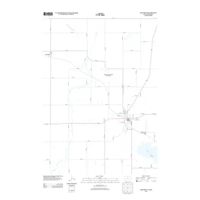
2013 Map of Lake Mills
USGS Topo · Published 2013About this map
Lake Mills serves as the primary hub of this northern Winnebago County landscape, its grid of streets such as N 3rd Ave W and E Main St concentrated near the southern border. The surrounding terrain is defined by a highly managed water system, where the meandering course of Lime Creek is augmented by straight-line engineering projects like Drainage Ditch Number 108 and Drainage Ditch Number 92. These features, along with the Hogsback Marsh Public Hunting Area, suggest a landscape shaped by both intensive agriculture and conservation efforts.
Find a feature on this map
56 named features on this map. Tap any name to fly to it.
Don’t see what you’re looking for? This feature index may not catch every label — zoom into the map to look around manually.
Map Details
Editions of this 2013 Lake Mills Map
This is the sole edition of this map. No revisions or reprints were ever made.
Other maps of this area

1954 · Albert Lea
USGS Topo · 1:62,500

1954 · Mason City
USGS Topo · 1:250,000

1955 · Wells
USGS Topo · 1:62,500

1957 · Mason City
USGS Topo · 1:250,000

1958 · Mason City
USGS Topo · 1:250,000

1972 · Forest City
USGS Topo · 1:24,000

1972 · Fertile
USGS Topo · 1:24,000

1972 · Bristol
USGS Topo · 1:24,000

1972 · Pilot Knob
USGS Topo · 1:24,000

1972 · Vinje
USGS Topo · 1:24,000