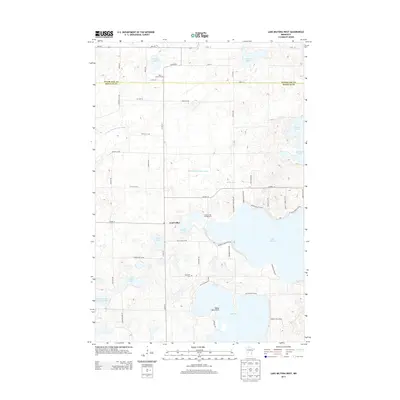
2013 Map of Lake Miltona West
USGS Topo · Published 2013About this map
Leaf Valley serves as the central hub of this agricultural and lake-rich landscape along the border of Otter Tail and Douglas counties. The area is defined by a dense cluster of glacial lakes, including the expansive Lake Miltona and Lake Ida, which are joined by smaller bodies such as Vermont Lake, Aaron Lake, and Spring Lake. The human imprint on the land is reflected in a grid of county highways and local roads that connect scattered farmsteads with local landmarks like Betsy Ross Point and the Lucky Acres Campground.
Find a feature on this map
57 named features on this map. Tap any name to fly to it.
Don’t see what you’re looking for? This feature index may not catch every label — zoom into the map to look around manually.
Map Details
Editions of this 2013 Lake Miltona West Map
This is the sole edition of this map. No revisions or reprints were ever made.
Other maps of this area

1953 · Brainerd
USGS Topo · 1:250,000

1953 · Saint Cloud
USGS Topo · 1:250,000

1957 · Brainerd
USGS Topo · 1:250,000

1957 · Saint Cloud
USGS Topo · 1:250,000

1958 · Saint Cloud
USGS Topo · 1:250,000

1958 · Brainerd
USGS Topo · 1:250,000

1965 · Brainerd
USGS Topo · 1:250,000

1966 · Brandon
USGS Topo · 1:24,000

1966 · Alexandria West
USGS Topo · 1:24,000

1966 · Alexandria East
USGS Topo · 1:24,000
Featured Places
- Leaf Valley, MN
- Effington Township, MN
- Parkers Prairie Township, MN
- Otter Tail County, MN
- Douglas County, MN