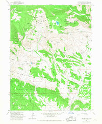
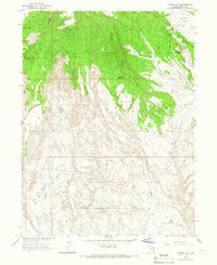
1965 Map of Lake Mountain
USGS Topo · Published 1967About this map
Ashley National Forest and the Uintah and Ouray Indian Reservation meet across this mid-1960s landscape, defined by an intricate network of springs and geological landmarks. The map captures a moment of active exploration and resource management, indicated by the Little Water Mines, a Drill Hole, and several gravel pits. An Old Indian Treaty Boundary cuts through the southern portion of the quadrangle, serving as a historical marker of administrative shifts between tribal and federal lands.
Find a feature on this map
74 named features on this map. Tap any name to fly to it.
Don’t see what you’re looking for? This feature index may not catch every label — zoom into the map to look around manually.
Map Details
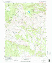
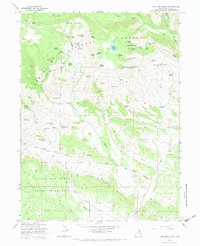
Editions of this 1965 Lake Mountain Map
3 editions found
Other maps of this area

1885 · Ashley
USGS Topo · 1:250,000

1906 · Marsh Peak
USGS Topo · 1:125,000

1908 · Marsh Peak
USGS Topo · 1:125,000

1917 · Vernal
USGS Topo · 1:125,000

1954 · Vernal
USGS Topo · 1:250,000

1958 · Vernal
USGS Topo · 1:250,000

1960 · Vernal
USGS Topo · 1:250,000

1964 · Lapoint
USGS Topo · 1:24,000
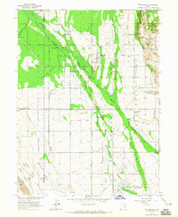
1964 · Whiterocks
USGS Topo · 1:24,000
1964 · Vernal NW
USGS Topo · 1:24,000