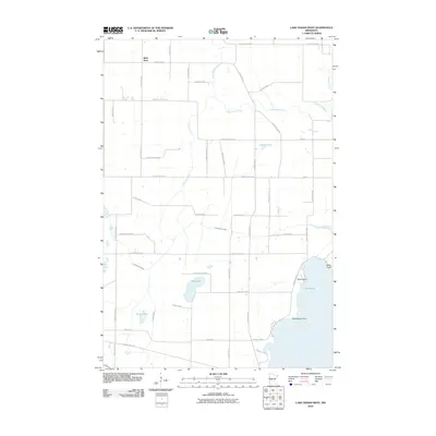
2010 Map of Lake Osakis West
USGS Topo · Published 2010About this map
Lake Osakis anchors the eastern edge of this landscape, its shoreline defined by family-named landmarks like Miller Point, Yates Point, and Schelfhout Point. The terrain is shaped by a complex network of waterways, including the winding Long Prairie River and the engineered path of the Crooked Lake Ditch. Smaller basins such as Bird Lake, Stowe Lake, and Siebell Lake are scattered across a countryside marked by a rigid grid of county highways and local roads, illustrating the systematic rural development of Douglas County.
Find a feature on this map
45 named features on this map. Tap any name to fly to it.
Don’t see what you’re looking for? This feature index may not catch every label — zoom into the map to look around manually.
Map Details
Editions of this 2010 Lake Osakis West Map
This is the sole edition of this map. No revisions or reprints were ever made.
Other maps of this area

1953 · Brainerd
USGS Topo · 1:250,000

1953 · Saint Cloud
USGS Topo · 1:250,000

1957 · Brainerd
USGS Topo · 1:250,000

1957 · Saint Cloud
USGS Topo · 1:250,000

1958 · Saint Cloud
USGS Topo · 1:250,000

1958 · Brainerd
USGS Topo · 1:250,000

1965 · Brainerd
USGS Topo · 1:250,000

1966 · West Union
USGS Topo · 1:24,000

1966 · Osakis
USGS Topo · 1:24,000

1966 · Lake Osakis East
USGS Topo · 1:24,000