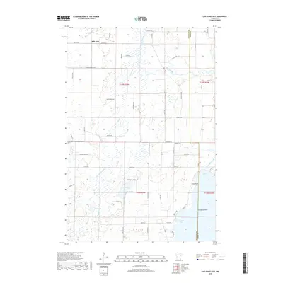
2019 Map of Lake Osakis West
USGS Topo · Published 2019About this map
The settlement of Belle River sits at the northern edge of a landscape defined by glacial waterways and shifting agricultural boundaries. In this 2019 snapshot of Douglas and Todd counties, the Long Prairie River meanders eastward toward the county line, while the northern reaches of Lake Osakis dominate the southeastern corner. The map reveals the intricate water management of the region, specifically through the Crooked Lake Ditch and its route toward Miller Bay. Local history and family lineages are etched into the terrain at landmarks such as Yates Point and Schelfhout Point along the lake's western shore. Between Stowe Lake and Bird Lake, a grid of rural roads like Fairfield Creek Rd NE and Waldvogel Rd NE connects dispersed farmsteads, illustrating the enduring agricultural character of the area near Peterson Bay.
Find a feature on this map
68 named features on this map. Tap any name to fly to it.
Don’t see what you’re looking for? This feature index may not catch every label — zoom into the map to look around manually.
Map Details
Editions of this 2019 Lake Osakis West Map
This is the sole edition of this map. No revisions or reprints were ever made.
Other maps of this area

1953 · Brainerd
USGS Topo · 1:250,000

1953 · Saint Cloud
USGS Topo · 1:250,000

1957 · Brainerd
USGS Topo · 1:250,000

1957 · Saint Cloud
USGS Topo · 1:250,000

1958 · Saint Cloud
USGS Topo · 1:250,000

1958 · Brainerd
USGS Topo · 1:250,000

1965 · Brainerd
USGS Topo · 1:250,000

1966 · West Union
USGS Topo · 1:24,000

1966 · Osakis
USGS Topo · 1:24,000

1966 · Lake Osakis East
USGS Topo · 1:24,000