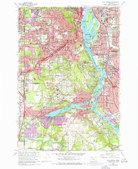
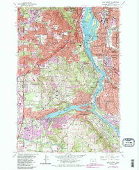
1961 Map of Lake Oswego
USGS Topo · Published 1971About this map
The Willamette River anchors this detailed study of the suburban expansion south of Portland, showing the transition from established neighborhoods like Sellwood and Brooklyn to the growing residential areas around Lake Oswego. The river's character is defined by its islands, including Ross Island and Elk Rock Island, while the western hills are dominated by the heights of Council Crest and Mt Sylvania. Significant educational and medical institutions are concentrated in the north, such as Reed College and the U of O Med Sch complex near the Veterans Hospital. Transportation corridors are well-defined by the Southern Pacific and Portland Traction Co rail lines, alongside the winding Terwilliger Blvd and the Pacific Highway. The southern portion of the map reveals the residential layout surrounding the many bays of Lake Oswego, including Lakewood Bay, punctuated by landmarks like the Oswego Country Club.
Find a feature on this map
138 named features on this map. Tap any name to fly to it.
Don’t see what you’re looking for? This feature index may not catch every label — zoom into the map to look around manually.
Map Details
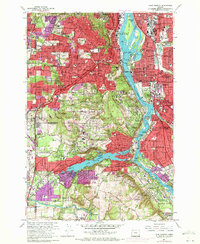
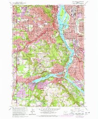
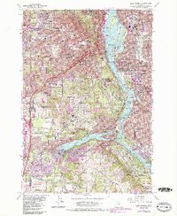
Editions of this 1961 Lake Oswego Map
5 editions found
Other maps of this area

1897 · Portland
USGS Topo · 1:62,500

1905 · Portland
USGS Topo · 1:62,500

1914 · Oregon City
USGS Topo · 1:62,500

1915 · Hillsboro
USGS Topo · 1:62,500

1916 · Tualatin
USGS Topo · 1:62,500

1918 · Hillsboro
USGS Topo · 1:62,500

1939 · Oregon City
USGS Topo · 1:62,500

1939 · Tualatin
USGS Topo · 1:62,500

1940 · Tualatin
USGS Topo · 1:62,500

1940 · Hillsboro
USGS Topo · 1:62,500