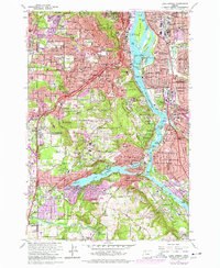
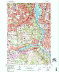
1961 Map of Lake Oswego
USGS Topo · Published 1978About this map
The Willamette River defines this landscape as it flows northward through a complex archipelago including Ross Island, Toe Island, and Hardtack Island. On the western bank, the residential expansion of Portland climbs toward Council Crest and Sentinel Hill, while the southern reaches center on the sprawling waters of Lake Oswego. This 1970s photorevised edition documents a suburbanizing corridor where private institutions like the Oswego Country Club and Lewis and Clark College sit alongside industrial markers such as the Southern Pacific railroad lines and various Sewage Disposal facilities.
Find a feature on this map
153 named features on this map. Tap any name to fly to it.
Don’t see what you’re looking for? This feature index may not catch every label — zoom into the map to look around manually.
Map Details
Editions of this 1961 Lake Oswego Map
5 editions found
Other maps of this area

1897 · Portland
USGS Topo · 1:62,500

1905 · Portland
USGS Topo · 1:62,500

1914 · Oregon City
USGS Topo · 1:62,500

1915 · Hillsboro
USGS Topo · 1:62,500

1916 · Tualatin
USGS Topo · 1:62,500

1918 · Hillsboro
USGS Topo · 1:62,500

1939 · Oregon City
USGS Topo · 1:62,500

1939 · Tualatin
USGS Topo · 1:62,500

1940 · Tualatin
USGS Topo · 1:62,500

1940 · Hillsboro
USGS Topo · 1:62,500