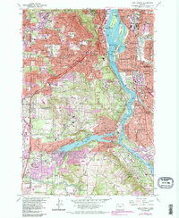
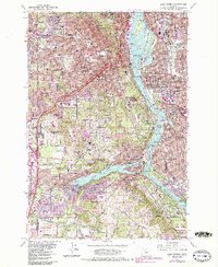
1961 Map of Lake Oswego
USGS Topo · Published 1985About this map
The Willamette River anchors this mid-century survey, dividing the landscape as the urban reach of Portland extends southward into Lake Oswego and West Linn. The river's edge is defined by institutional and recreational landmarks, from the sprawling grounds of Riverview Cemetery and Lewis and Clark College to the Oregon Yacht Club and the historic amusements of The Oaks. The map captures a transitional era of suburbanization, where established neighborhoods like Sellwood and Eastmoreland meet newer developments in Tigard and Raleigh Hills.
Find a feature on this map
136 named features on this map. Tap any name to fly to it.
Don’t see what you’re looking for? This feature index may not catch every label — zoom into the map to look around manually.
Map Details
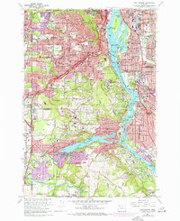
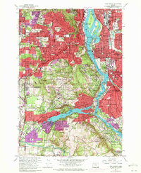
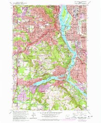
Editions of this 1961 Lake Oswego Map
5 editions found
Other maps of this area

1897 · Portland
USGS Topo · 1:62,500

1905 · Portland
USGS Topo · 1:62,500

1914 · Oregon City
USGS Topo · 1:62,500

1915 · Hillsboro
USGS Topo · 1:62,500

1916 · Tualatin
USGS Topo · 1:62,500

1918 · Hillsboro
USGS Topo · 1:62,500

1939 · Oregon City
USGS Topo · 1:62,500

1939 · Tualatin
USGS Topo · 1:62,500

1940 · Tualatin
USGS Topo · 1:62,500

1940 · Hillsboro
USGS Topo · 1:62,500