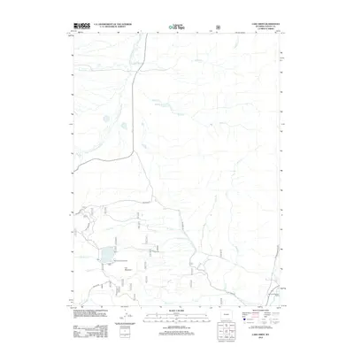
2012 Map of Lake Owen
USGS Topo · Published 2012About this map
Lake Owen sits at the heart of this Albany County high-country landscape, where complex water management systems like the Fox Creek Ditch and Burg Ditch divert mountain flows for agricultural or ranching use. The map illustrates a high-altitude drainage network where the Middle Fork Little Laramie River and S Fork Little Laramie River converge near Buckeye Cr. Human presence is defined by recreation and seasonal ranching, anchored by the Lake Owen Campground and Mountain Meadow Ranch at the southeastern edge of the quadrangle. Significant elevation changes are marked by Iron Mountain, which overlooks a series of drainages including Strain Cr and Hecht Cr. The network of forest roads, such as Dry Park Rd and Fox Creek Rd, provides the primary access through this sparsely settled territory.
Find a feature on this map
27 named features on this map. Tap any name to fly to it.
Don’t see what you’re looking for? This feature index may not catch every label — zoom into the map to look around manually.
Map Details
Editions of this 2012 Lake Owen Map
This is the sole edition of this map. No revisions or reprints were ever made.
Other maps of this area

1895 · Laramie
USGS Topo · 1:125,000

1902 · Laramie
USGS Topo · 1:125,000

1905 · Laramie
USGS Topo · 1:125,000

1906 · Medicine Bow
USGS Topo · 1:125,000

1906 · Laramie
USGS Topo · 1:125,000

1908 · Laramie
USGS Topo · 1:125,000

1908 · Medicine Bow
USGS Topo · 1:125,000

1954 · Cheyenne
USGS Topo · 1:250,000

1954 · Rawlins
USGS Topo · 1:250,000

1958 · Rawlins
USGS Topo · 1:250,000