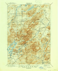
1898 Map of Lake Placid
USGS Topo · Published 1946About this map
John Browns Grave rests south of North Elba, anchoring this survey of the high Adirondacks as they appeared during the 1890s. The landscape is defined by the massive profile of Mt. Whiteface and the Sentinel Range, which split the drainage between the Saranac River and the branches of the Ausable River. A legacy of early industry is visible in the series of charcoal or potash kilns north of the Wilmington Mountain ridge, including East Kilns, Middle Kilns, and West Kilns, indicating the heavy timber harvesting and processing that preceded the area's transition to a resort destination.
Find a feature on this map
84 named features on this map. Tap any name to fly to it.
Don’t see what you’re looking for? This feature index may not catch every label — zoom into the map to look around manually.
Map Details
Editions of this 1898 Lake Placid Map
12 editions found

1898 edition
15.4 x 20.1 inches
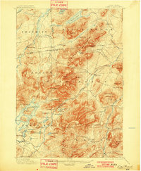
1901 edition
16.6 x 20.2 inches
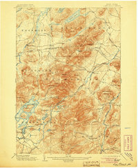
1905 edition
16.6 x 20.1 inches
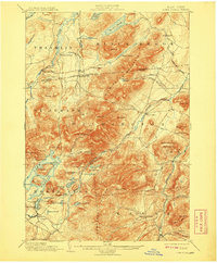
1908 edition
16.6 x 20.2 inches
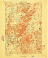
1911 edition
16.6 x 20.2 inches
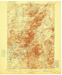
1917 edition
16.6 x 20.2 inches
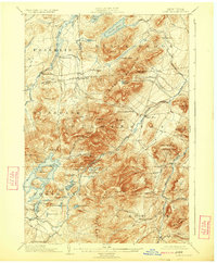
1924 edition
16.6 x 20.1 inches
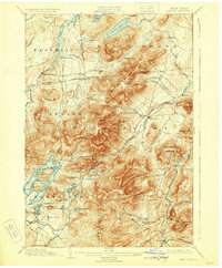
1929 edition
16.6 x 20.1 inches
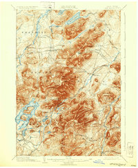
1932 edition
16.6 x 20.2 inches
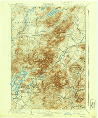
1939 edition
16.6 x 20.1 inches
1946 edition
17 x 20.8 inches
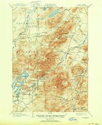
1950 edition
17 x 20.9 inches
Other maps of this area

1894 · Elizabethtown
USGS Topo · 1:62,500

1895 · Elizabethtown
USGS Topo · 1:62,500

1895 · Mt. Marcy
USGS Topo · 1:62,500

1895 · Ausable
USGS Topo · 1:62,500

1896 · Lake Placid
USGS Topo · 1:62,500
1898 · Lake Placid
USGS Topo · 1:62,500

1901 · Elizabethtown
USGS Topo · 1:62,500

1902 · Mt. Marcy
USGS Topo · 1:62,500

1902 · Saranac
USGS Topo · 1:62,500

1903 · Ausable
USGS Topo · 1:62,500