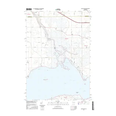
2016 Map of Lake Poygan
USGS Topo · Published 2016About this map
The Wolf River meanders through a complex network of wetlands and riverine bypasses before emptying into Lake Poygan on this 2016 survey. This landscape is defined by its water-driven geography, where small settlements like Orihula and Zittau serve as historical anchors in a region dominated by the Rat River and Pages Slough. The intricate shoreline includes features such as Boom Island, Old Indian Point, and the wide waters of Boom Bay, reflecting a terrain shaped by centuries of fluvial activity and its proximity to the larger Winnebago Pool lakes.
Find a feature on this map
73 named features on this map. Tap any name to fly to it.
Don’t see what you’re looking for? This feature index may not catch every label — zoom into the map to look around manually.
Map Details
Editions of this 2016 Lake Poygan Map
This is the sole edition of this map. No revisions or reprints were ever made.
Other maps of this area

1955 · Green Bay
USGS Topo · 1:250,000

1956 · New London
USGS Topo · 1:48,000

1956 · Weyauwega
USGS Topo · 1:48,000

1961 · Poy Sippi
USGS Topo · 1:62,500

1961 · Oshkosh
USGS Topo · 1:62,500

1961 · Lake Poygan
USGS Topo · 1:24,000
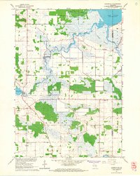
1961 · Auroraville
USGS Topo · 1:24,000

1961 · Oshkosh NW
USGS Topo · 1:24,000
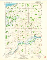
1961 · Eureka
USGS Topo · 1:24,000
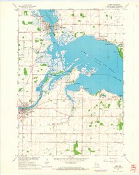
1961 · Omro
USGS Topo · 1:24,000