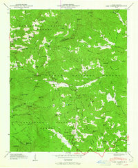
1946 Map of Lake Toxaway
USGS Topo · Published 1965About this map
The French Broad River headwaters emerge from a landscape defined by high ridges and steep valleys at the boundary of Jackson and Transylvania counties. This 1946 field examination by the Tennessee Valley Authority highlights a network of mountain schools and country churches serving remote settlements like Quebec and Rock Bridge. The presence of the Toxaway School, Toxaway Mountain, and the reconstructed Lake Toxaway suggests the area's transition into a destination for summer recreation, further marked by Camp Toxaway and the Blue Ridge Parkway. Heavy timber and difficult terrain are evident across the Nantahala and Pisgah National Forest, where landmarks like Dismal Falls and The Pinnacle stand above the forks of the river. The map also traces the Tenn Valley Divide, a critical geographic feature separating the drainage of the Atlantic from the Gulf of Mexico.
Find a feature on this map
86 named features on this map. Tap any name to fly to it.
Don’t see what you’re looking for? This feature index may not catch every label — zoom into the map to look around manually.
Map Details
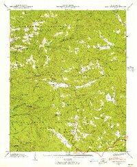
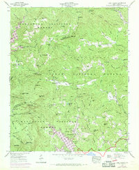
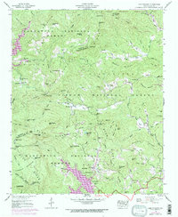
Editions of this 1946 Lake Toxaway Map
4 editions found
Other maps of this area

1891 · Cowee
USGS Topo · 1:125,000

1897 · Cowee
USGS Topo · 1:125,000

1905 · Pisgah
USGS Topo · 1:125,000

1906 · Pisgah
USGS Topo · 1:125,000

1907 · Cowee
USGS Topo · 1:125,000

1935 · Eastatoe Gap
USGS Topo · 1:24,000

1935 · Sam Knob
USGS Topo · 1:24,000

1935 · Cashiers
USGS Topo · 1:24,000

1935 · Rosman
USGS Topo · 1:24,000

1935 · Tuckaseigee
USGS Topo · 1:24,000