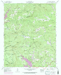
1946 Map of Lake Toxaway
USGS Topo · Published 1970About this map
Lake Toxaway and the surrounding highlands of the Nantahala National Forest define this landscape along the Jackson and Transylvania county line. The 1946 field-checked data, updated with 1969 aerial revisions, captures a region of significant transition between old mountain commerce and modern infrastructure. Evidence of early industry and transport is found in the Dismantled Railroad near Quebec and the Gravel Pit near Mill Creek. Settlement patterns are traced through local landmarks like Wolf Mountain School, Big Pisgah Church, and several family burial grounds including Owens Cem and Mc Call Cem.
Find a feature on this map
90 named features on this map. Tap any name to fly to it.
Don’t see what you’re looking for? This feature index may not catch every label — zoom into the map to look around manually.
Map Details
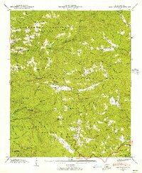
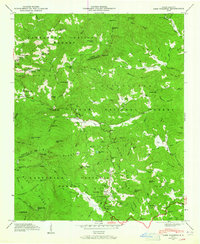
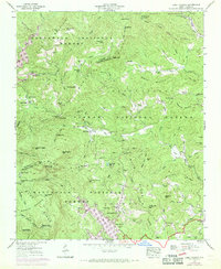
Editions of this 1946 Lake Toxaway Map
4 editions found
Other maps of this area

1891 · Cowee
USGS Topo · 1:125,000

1897 · Cowee
USGS Topo · 1:125,000

1905 · Pisgah
USGS Topo · 1:125,000

1906 · Pisgah
USGS Topo · 1:125,000

1907 · Cowee
USGS Topo · 1:125,000

1935 · Eastatoe Gap
USGS Topo · 1:24,000

1935 · Sam Knob
USGS Topo · 1:24,000

1935 · Cashiers
USGS Topo · 1:24,000

1935 · Rosman
USGS Topo · 1:24,000

1935 · Tuckaseigee
USGS Topo · 1:24,000