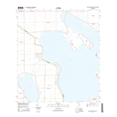
2015 Map of Lake Weohyakapka NE
USGS Topo · Published 2015About this map
Lake Kissimmee dominates this Central Florida landscape, its intricate shoreline forming numerous points and inlets such as Lemon Point. The map highlights a complex aquatic environment where Tiger Lake connects via Rosalie Cr, illustrating the natural drainage patterns that define Polk and Osceola counties. Settlement is sparse, characterized by large landholdings and rural infrastructure like Lightsey Ranch Rd and Sam Keene Rd. The presence of the Tiger Lake Airport near the western shore indicates the importance of private aviation in accessing these remote wetland areas.
Find a feature on this map
25 named features on this map. Tap any name to fly to it.
Don’t see what you’re looking for? This feature index may not catch every label — zoom into the map to look around manually.
Map Details
Editions of this 2015 Lake Weohyakapka NE Map
This is the sole edition of this map. No revisions or reprints were ever made.
Other maps of this area

1952 · Lake Weohyakapka SE
USGS Topo · 1:24,000

1952 · Lake Weohyakapka NE
USGS Topo · 1:24,000

1952 · Hesperides
USGS Topo · 1:24,000

1952 · Lake Weohyakapka
USGS Topo · 1:24,000

1953 · Lake Marian NW
USGS Topo · 1:24,000

1953 · Cypress Lake
USGS Topo · 1:24,000

1953 · Lake Marian SW
USGS Topo · 1:24,000

1953 · Lake Hatchineha
USGS Topo · 1:24,000

1953 · Holopaw SW
USGS Topo · 1:24,000

1955 · Orlando
USGS Topo · 1:250,000