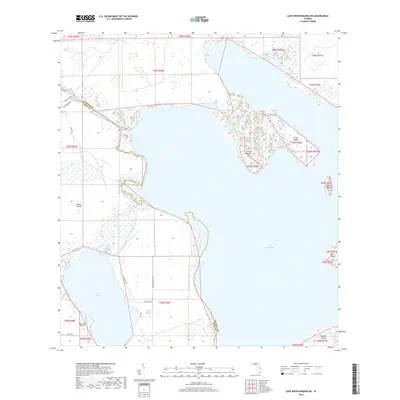
2018 Map of Lake Weohyakapka NE
USGS Topo · Published 2018About this map
Lake Kissimmee dominates this landscape along the border of Osceola and Polk counties, showing the intricate shoreline and numerous islands that define the central Florida wetlands. The map documents the Kissimmee River where it feeds into the larger lake system, flanked by significant marshlands such as Cobb Marsh to the northwest. The terrain is a complex of peninsulas and interior waterways like Otter Slough, which snake through the low-lying basin.
Find a feature on this map
29 named features on this map. Tap any name to fly to it.
Don’t see what you’re looking for? This feature index may not catch every label — zoom into the map to look around manually.
Map Details
Editions of this 2018 Lake Weohyakapka NE Map
This is the sole edition of this map. No revisions or reprints were ever made.
Other maps of this area

1952 · Lake Weohyakapka SE
USGS Topo · 1:24,000

1952 · Lake Weohyakapka NE
USGS Topo · 1:24,000

1952 · Hesperides
USGS Topo · 1:24,000

1952 · Lake Weohyakapka
USGS Topo · 1:24,000

1953 · Lake Marian NW
USGS Topo · 1:24,000

1953 · Cypress Lake
USGS Topo · 1:24,000

1953 · Lake Marian SW
USGS Topo · 1:24,000

1953 · Lake Hatchineha
USGS Topo · 1:24,000

1953 · Holopaw SW
USGS Topo · 1:24,000

1955 · Orlando
USGS Topo · 1:250,000