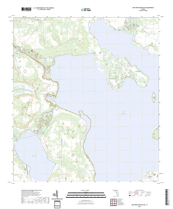
2024 Map of Lake Weohyakapka NE
USGS Topo · Published 2024About this map
Lake Kissimmee dominates this central Florida landscape, where the waters of the Kissimmee River and Rosalie Creek converge within a complex network of wetlands and islands. The boundary between Osceola and Polk Counties bisects these major water bodies, highlighting the watery divide that defines local geography. Several named landforms emerge from the lake's expanse, including the large Buster Island and the more isolated Sturm Island and Brahma Island. On the western shore, Tiger Lake is home to the Tiger Lake Airport, suggesting a mix of recreational aviation and rural residential use. The inclusion of the Lake Kissimmee State Park Trl and the Buster Island Loop Paddling Trl indicates a landscape heavily managed for conservation and public access, preserving the character of the Florida interior.
Find a feature on this map
31 named features on this map. Tap any name to fly to it.
Don’t see what you’re looking for? This feature index may not catch every label — zoom into the map to look around manually.
Map Details
Editions of this 2024 Lake Weohyakapka NE Map
This is the sole edition of this map. No revisions or reprints were ever made.
Other maps of this area

1952 · Lake Weohyakapka SE
USGS Topo · 1:24,000

1952 · Lake Weohyakapka NE
USGS Topo · 1:24,000

1952 · Hesperides
USGS Topo · 1:24,000

1952 · Lake Weohyakapka
USGS Topo · 1:24,000

1953 · Lake Marian NW
USGS Topo · 1:24,000

1953 · Cypress Lake
USGS Topo · 1:24,000

1953 · Lake Marian SW
USGS Topo · 1:24,000

1953 · Lake Hatchineha
USGS Topo · 1:24,000

1953 · Holopaw SW
USGS Topo · 1:24,000

1955 · Orlando
USGS Topo · 1:250,000