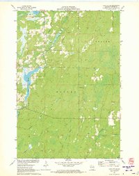
1971 Map of Lake Winter
USGS Topo · Published 1973About this map
Lake Winter and the Brunet River dominate this Sawyer County landscape, recorded just as recreational infrastructure began to formalize in the Northwoods. The map reveals a transition from industrial and utility land use to seasonal leisure, marked by the presence of the Snowmobile Trail and multiple named routes like the Winter Trail. Deep in the timberlands, the Winter Lookout Tower stands as a focal point for forest management, while numerous watercourses including Deadman Creek, Thornapple River, and Casey Creek suggest the complex drainage of this glaciated terrain. To the north, South Barber Lake and its connection via Barber Creek illustrate the interconnected waterway network. While the area remains largely undeveloped, the scattered Gravel Pits indicate local resource extraction supporting the limited road network during the early 1970s.
Find a feature on this map
19 named features on this map. Tap any name to fly to it.
Don’t see what you’re looking for? This feature index may not catch every label — zoom into the map to look around manually.
Map Details
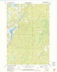
Editions of this 1971 Lake Winter Map
2 editions found
Other maps of this area

1944 · Exeland
USGS Topo · 1:48,000

1944 · Draper
USGS Topo · 1:48,000

1944 · Radisson
USGS Topo · 1:48,000

1945 · Ingram
USGS Topo · 1:48,000

1947 · Exeland
USGS Topo · 1:48,000

1947 · Ingram
USGS Topo · 1:48,000

1947 · Draper
USGS Topo · 1:48,000

1949 · Radisson
USGS Topo · 1:48,000

1953 · Rice Lake
USGS Topo · 1:250,000

1959 · Rice Lake
USGS Topo · 1:250,000